Streets & Trips
We’re sorry to see that Microsoft has discontinued support for this product, but the silver lining is that there are many other replacement services that one could use to fill that Streets and Trips sized gap in your life. Below are three resources that we believe would be the most suitable replacements for Streets and Trips.
Badger Maps
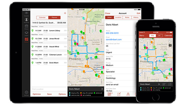
Badger Maps is resource for displaying business data, and has an awesome optimization option to easily and effectively create sales routes. It connects with your CRM displaying all of your customers on a map. It's also great for finding leads, with the ability to plot searches from Google Places on the map and add them to your customers.
Google Maps
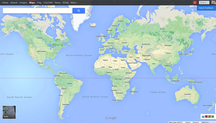
This is a great free option if you just want directions to get from point A to point B. Its functionality is relatively bare-bones but provides great routing services. You would be hard-pressed to find a better basic mapping app.
Batch Geo
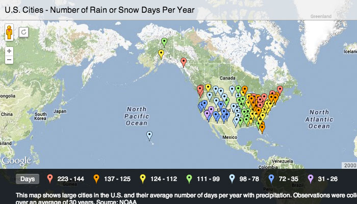
This is another great resource to display your business data geographically for free, Batchgeo also gives you the ability to set different color to different types of business data. This service is perfect to visualize different aspects of vast geographic data.
AlignMix
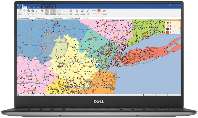
AlignMix has been designed to be an easy to use sales territory mapping solution. It has a modern, intuitive user interface that leverages the power of today’s technology to deliver a beautiful user experience.
Esri ArcGIS
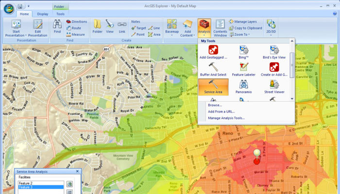
Esri ArcGIS’s software combines statistical data with the geographic data of the land. It’s ideal for data analysis, especially when you need to examine the data associated with certain geographic areas. The software is perfect for sales managers and city managers alike.